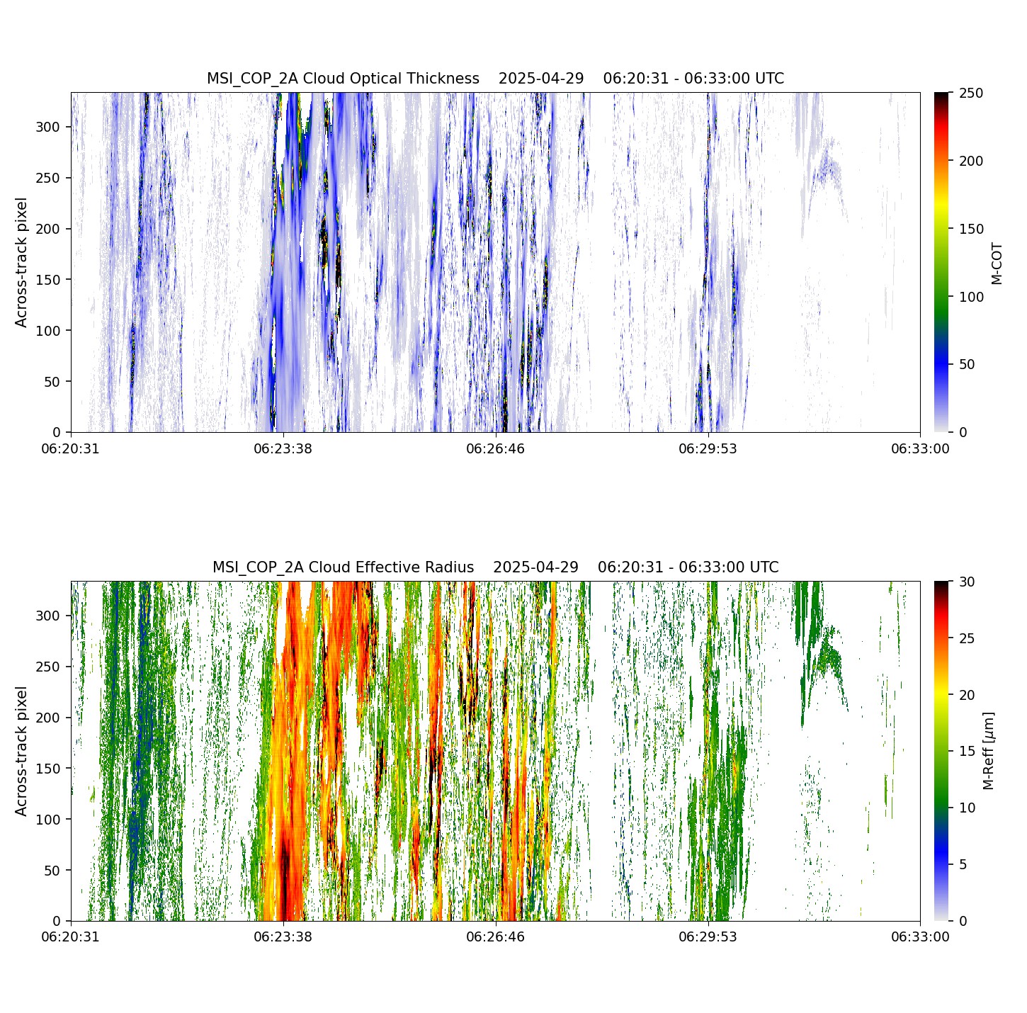
- ECA_EXAB_MSI_COP_2A_20250429T062053Z_20250429T075244Z_05217E
Metadata Summary View Full Metadata
- ECA_EXAB_MSI_COP_2A_20250429T062053Z_20250429T075244Z_05217E
- Dataset
- 10.57780/eca-5ba8e95
- 22.549147 116.59437 17.554142 115.5922 12.554847 114.62329 7.552853 113.6759 2.549735 112.73979 -2.452933 111.80548 -7.453576 110.86369 -12.450613 109.90478 -17.442453 108.9181 -22.427475 107.89128 -22.49806 108.28166 -22.706285 109.467834 -17.717936 110.43965 -12.723858 111.38603 -7.725508 112.31789 -2.72438 113.24494 2.277984 114.1764 7.279993 115.121475 12.280003 116.09002 17.276308 117.09308 22.267118 118.143715 22.48059 116.979195 22.549147 116.59437
- 2025-04-29 06:20:53 / 2025-04-29 06:32:28
- EarthCARE
- MSI
- 2025-04-29 06:32:28
- MSI_COP_2A
- PDGS-CPFxx
- 2025-04-29 07:52:44
- other: 2A
- M-CLD
- 11.30
- AB
- DESCENDING
- 5217
- 2025-04-29T05:40:28.260Z
- -55.81737
- OTHER
- 5217
- E
- DEFAULT
- Alternates
- Data
- Previews
